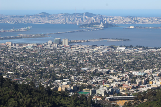
Just this past week, a monstrous heat wave broke temperature records in many parts of the state — especially in the Bay Area and several Central Valley cities. And if you have been watching the weather around Los Angeles and points south today, you know something even more unusual is going on. Perhaps you thought SoCal switched places with Miami?
All jokes aside, chances are good you may have seen some thick clouds overhead, felt sticky humidity in the air, and caught the sound of thunder or even saw a flash of lightning.
As of this writing, to our south, Hurricane Kay is presently making its way up the coast of Baja California. It is pushing moisture and lines of thunderstorms into southern California. Tropical storm warnings presently exist just south of the border and off the state’s southernmost coast. Gale warnings have been issued for San Diego County. Still, it begs the question; could a historic moment be in the making?

To date, no hurricanes have made landfall in California in recorded history. However, several tropical systems have pushed tropical-storm force winds (39-73 mph/34 to 63 knots) into the state in past years. More often, the remnants of such storms can and do dump rains and bring strong winds to the southern portion of the state every few years.
Hurricane Kay is expected to make landfall in Mexico later tonight (09/08) and then track to the northwest — putting the system a little south and west of San Diego by Saturday morning before curving back out to sea. It is not expected to make landfall in California and is not expected to stay at hurricane force at the time of closest approach to the Golden State.
But the presence of a tropical cyclone this close to California’s shores is an unusual and remarkable event. The relatively cool California Current that runs off our coast, combined with the upwelling of cold water that the current helps foster south of Pt. Conception, is effectively a hurricane “insulator.” Hurricane-strength tropical systems are practically unheard of off our coast. In order to form and be sustained, these tropical cyclones need warm water (at least 26.6°C/80°F) to a depth of 50 m (~156′). At present, water temps off both Los Angeles and San Diego are averaging in the low 70s (~22°C). So, even if the storm does somehow loop back towards our shores, our relatively cool waters will quickly cut off its source of fuel.

Image: National Weather Service.
Nonetheless, that might not always be the case. Record warm ocean water temps have been set in recent years. On August 1, 2018, the Scripps Institution of Oceanography recorded a temperature of 25.9°C/78.6°F off La Jolla. Temperature records on land have been falling all over California in the past few weeks as well. Combined with what we already know about climate change models, as well as the inherent uncertainty that comes with weather events of this type, who knows what the future may bring.
For a more detailed discussion, here is the latest forecast discussion from the National Weather Service for what is happening and expected to happen in the coming hours and days in San Diego: Text Products for AFD Issued by SGX (weather.gov).

