Rent and Income Dynamics in Los Angeles: Spatiotemporal Trends, 2000–2022
By: Svetlana Babaeva
We’re thrilled to once again showcase the impressive work of a GIS student from Santa Monica College! This time, we spotlight the exceptional talents of Svetlana Babaeva, whose dedication and analytical skill shine through in her latest project. Svetlana has taken on one of the most urgent and complex issues facing Californians today: the dramatic and ongoing rise in rent across Los Angeles County. With a sharp geographic lens and a commitment to uncovering meaningful insights, she’s mapped and analyzed this crisis with clarity and purpose. In her own words …
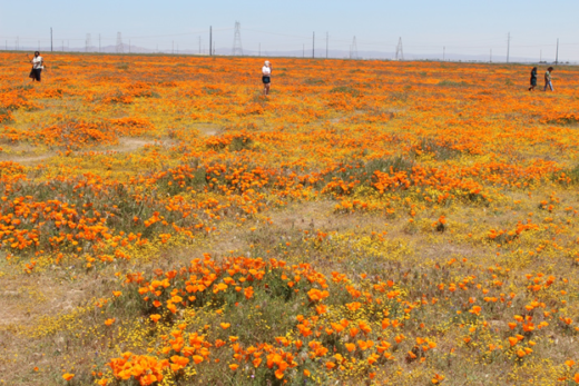
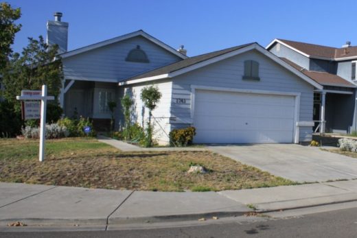
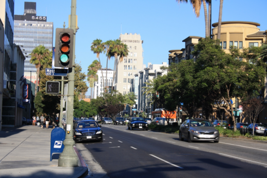
Los Angeles, often seen as a land of opportunity and the embodiment of the “California Dream,” drew me in 2019 with its vibrant cultural energy. However, I soon encountered the city’s harsh reality: a crushing housing crisis that personally affected me and nearly a third of my neighbors who spend over half their income on rent.
Understanding the Housing Crisis Through GIS
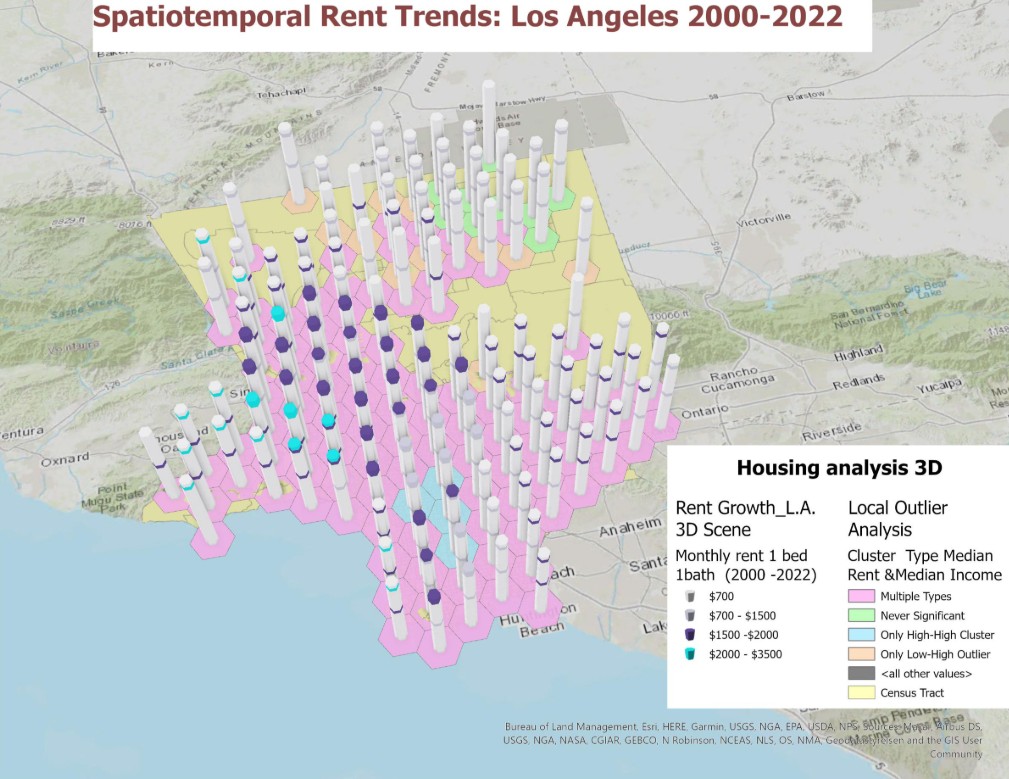
After five years of observing this crisis and studying geography at Santa Monica College, I realized my personal struggle was part of a larger issue impacting over 60% of Los Angeles County residents. This led me to create Rent Pressure in Los Angeles, a story map using Geographic Information Systems (GIS) to pinpoint areas most affected by severe rent burdens. My spatial analysis highlighted central and downtown Los Angeles County as particularly vulnerable, prompting questions about the sustainability of living here. This project has significantly deepened my understanding of how geographic thinking and GIS can illuminate and address critical real-world issues beyond just housing. These patterns clearly warrant continued investigation within this area of study.
Acknowledgements
I am incredibly grateful to the Santa Monica College Geography Program for their exceptional guidance. Special thanks to Professor Jing Liu, whose five GIS courses and unwavering support were instrumental in developing this project and my forthcoming Geospatial Technology certificate. I also extend my sincere appreciation to Professor Robert O’Keefe for introducing me to critical geographic thinking, Professor Pete Morris for his insightful, multidisciplinary approach to California geography, and Professor William A. Selby for his inspiring presentations. Their combined contributions have provided an invaluable foundation and continue to inspire my geographic explorations.
Showcase Your Geographic Work on Rediscovering the Golden State: California Geography
Are you passionate about California’s landscapes, communities, or pressing challenges? Have you created maps, visualizations, research projects, or multimedia presentations that explore the geography of the Golden State? If so, we invite you to contribute to Rediscovering the Golden State: California Geography — an online platform dedicated to telling California’s story through a geographic lens.
We’re looking for student and faculty contributions that connect clearly to California — whether you’re examining climate change impacts, housing and rent patterns, water resources, wildfire dynamics, transportation systems, cultural diversity, immigration, or any number of issues shaped by place and space. Submissions can be analytical or creative, visual or written, but they must offer geographic insight into the state’s dynamic human or physical landscapes.
By sharing your work, you not only gain professional exposure but also help inform and inspire others to better understand California — its regions, its people, and the challenges it faces.
If you’re interested in being featured, or have a student whose work deserves a wider audience, we’d love to hear from you! Let’s rediscover the Golden State together, one geographic story at a time.