Page 2: More Detailed Definitions and Explanations
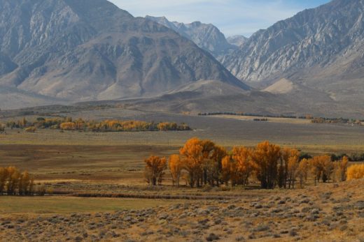
(1) Summer’s afternoon temperature gradients from the cool beaches to hot inland valleys often vary according to the topography. Where flat coastal plains extend from the shoreline (such as the Salinas Valley, Ventura/Oxnard Plain, and Los Angeles Basin), moderating sea breezes are able to penetrate farther inland. Where coastal mountains abruptly rise from the ocean to block the shallow marine layer (such as along the northern coastal ranges, Big Sur, and Santa Monica Mountains), summer afternoon temperatures may increase up to 30 degrees F (17 C) within 10 miles of the coast. Likewise, clear winter nights can be much colder on the inland sides of the mountains facing away from those moderating sea breezes.
(2) Land heats up and cools off faster than water for a few reasons. Our understanding of specific heat informs us that fewer calories are required to increase the temperature of a gram of dry soil compared to a gram of water. Water surfaces also experience evaporative cooling when they are heated. Additionally, sunlight is distributed as it penetrates through water, while sunlight is quickly absorbed only at the very surface of the land. Finally, excess heat and cold are often circulated and more evenly distributed within water currents compared to solid land surfaces.
(3) The California Current is a wide stream of ocean surface water that flows from north to south along our coast. It is propelled by prevailing winds pouring out of the East Pacific Subtropical High Pressure System that dominates especially during summer months. As the winds (also prevalent during summer) turn clockwise around the high pressure, they push cold water south down our coast, which then cools any air masses that move over it. These prevailing winds and currents also encourage near shore upwelling of cold water from the depths, keeping our summer water temperatures much colder than might be expected for our latitude.
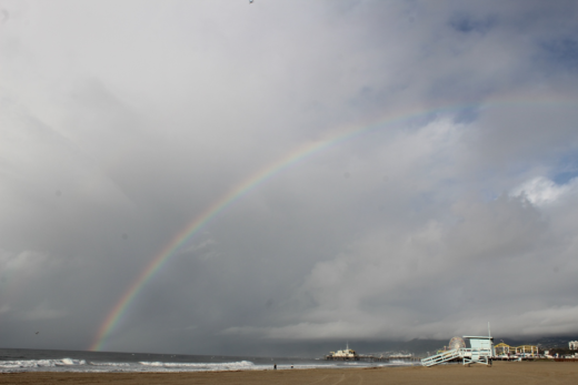
(4) When warm summer air masses pass over the cold California Current, they are often cooled to their dew points, meaning the air can no longer hold its water vapor at that temperature. When this water vapor begins to condense into liquid water drops (at 100% relative humidity), fog or low clouds will form. These cool, shallow layers of saturated air often ride the sea breeze on to the California coast. For instance, if the dew point is 59 degrees F (15 C) and the high temperature on a summer afternoon just above Crissy Field near the Golden Gate is 59, the fog may not burn off. But if the high temperature is 68 (20 C), there should be several hours of clear skies before overnight temperatures drop back below 59, allowing the fog to condense again.

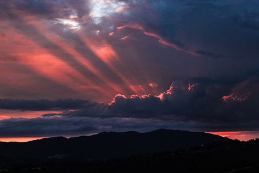
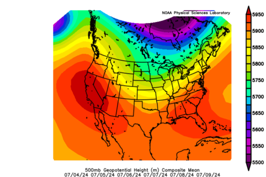
(5) The strength and location of dominant high pressure along and off the West Coast will determine the depth of our marine layer. Summertime’s warm, dry air is compressed as it sinks over us. These descending air masses cap the cool, moist, stable sea breezes near the surface. This creates the renowned inversion layer, as it is colder near the surface than in the warm, adiabatically-heated descending air just above the marine layer. (Some of the most extreme temperature inversions in the world can form over coastal California during summer. For instance, temperatures can be near 60 degrees F (15.5 C) just below 1,000 feet (305 m) asl, yet 90 degrees (32 C) just above, at 1,500 feet (457 m).) Our air pollution will also be trapped near the surface to mix within this dense, stable, hazy marine layer soup that may spread into coastal valleys. When the high pressure and descending air is stronger, the marine layer is shallower, the sea breeze weaker, and temperatures heat up, especially inland. When the high pressure weakens, the marine layer can thicken and extend farther into coastal and even inland valleys, bringing relief to summer’s heat. During autumn, as upper level and lower level pressure patterns shift, offshore winds may scour out the marine layer and push ocean air far out to sea. When winter storms sweep through, they bring the instability and mixing that can also eliminate the inversion layer.