Page 2: More Detailed Definitions and Explanations
1. The Southwest U.S. “monsoon” is not as wet or dramatic as the drenching rains that sweep into South Asia during summer months, but there are obvious similarities. Shallow low pressure develops over the heated Asian continent, drawing tropical seas breezes in toward the interior. Annual rainfall often peaks around late summer. Similar seasonal wind systems are common in parts of Central and South America, Australia, and Africa, where nearby tropical air masses may be drawn over heated continents.

2. Heated, moist air will often rise, especially when it encounters a mountain barrier. Wetter air parcels will eventually cool to their dew points, forming flat cloud bases. When water vapor condenses into liquid water drops, tremendous amounts of latent heat are released within the cloud, causing the air parcels to rise faster. Massive billowing cumulus boil into the upper atmosphere when there is abundant moisture and instability. These cauliflower clouds can quickly form turbulent thunderstorms with powerful updrafts and downdrafts that may approach 100 mph. The flat anvil tops announce where the updrafts have finally reached a stable layer, sometimes above 30,000 feet (9,144 m) in more severe storms. These tops drift with the upper level winds and may signal which direction a particular storm is moving.
3. Classic alluvial fans at the base of these mountains are built by successive debris flows generated by such intense storms. That is why you may notice multiple alluvial fans extending beyond desert canyons from the base of steep mountains, draped across desert floors. There is not enough consistent rainfall and runoff in these desert regions that would otherwise erode away these alluvial fan debris deposits.
4. On more rare occasions, easterly waves, upper-level instability, and downburst clusters out of previous thunderstorms might produce nocturnal thunderstorms that can remain fired up through the night. These more organized storms can push microbursts and derecho-type winds ahead of them, with impressive walls of advancing, rolling dust clouds resembling hoboobs, at great speeds across the desert southwest. This explains how a blinding dust storm could be immediately followed by a severe thunderstorm carrying heavy rain.

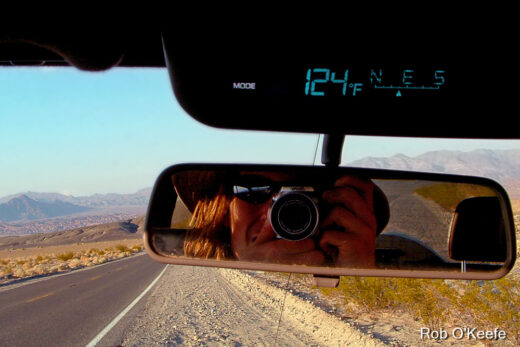
5. This more detailed section is designed to serve those weather enthusiasts interested in some specific observations during the storms of July 30, 2021 that were documented in this story.
Thanks to the National Weather Service and National Park Service Ranger Marcus Mahan for providing data on weather station observations in and around Joshua Tree. Though there are more weather stations surrounding the park, there appears to be only one official NWS station within the park (at Lost Horse Ranger Station). There are a few other stations maintained by the National Park Service (such as at Black Rock, Cottonwood Canyon, and Pinto Wells).
Most NWS stations in the surrounding region recorded dew point temperatures in the 40s F before southeasterly winds advected moist air masses from Mexico and Arizona that pushed dew points up into the 60s during a few days before the storms. A few days after the storms, dew points were back down in the 40s in the clear, drier air masses. (Exceptionally wet air masses from the Gulf of California have brought dew points into the 70s during a few previous and rarer monsoon invasions.) That 1.6 inches (~4 cm) of rain in the mountain community of Idyllwild was the heaviest total I could find for that day in the surrounding region. However, many regional desert and mountain stations caught no rain at all, confirming the spotty and unpredictable nature of these summer storms. There was even great variability within Joshua Tree National Park.
The official NWS station n Joshua Tree (at Lost Horse) recorded 0.83 inches (~2.1 cm) of rain from 4-7 pm, but mostly within one hour. It is certain that other locations within the park without rain gauges, caught under the most intense downbursts, received much more rain. Luckily, the park’s weather stations that measure air quality also record other weather elements. For instance, Cottonwood recorded 0.16 inches (0.4 cm) of rain, while Pinto Wells only recorded about 0.03 inches (~ 0.08 cm) of rain during the storms. Unless their rain gauges were malfunctioning, these stations remained relatively dry, while locations just a few miles away were likely catching more than an inch of rain and experiencing flash flooding.
Otherwise, overall trends for each of these Joshua Tree stations were similar, as they experienced more frequent southerly and southeasterly winds in the days before the storms and then drier westerly and northwesterly winds in days after the storms. Temperatures during the storms dropped dramatically (around 20 degrees F (11 C) within an hour, lowest for the week) and relative humidities soared up to 80% (highest for the week) and then returned closer to their seasonal averages within hours. Thick clouds cut solar radiation by about half even for stations that were not directly under a storm, while downburst and outflow winds gusted between 30-40 mph during the storms. Interestingly, each station also recorded the lowest ozone levels for the week, perhaps demonstrating how turbulent storms can clear the air and photochemical pollutants must be cooked under abundant sunlight.